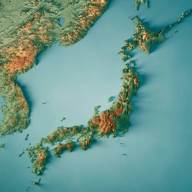
3D Render of a Country Map of Mexico with the Administrative Divisions. Made with Natural Earth. https://www.naturalearthdata.com/downloads/10m-cultural-vectors/ All source data is in the public domain.
Foto de México país mapa territorial 3D Render
Imagen Disponible en Alta Resolución, Descarga inmediata
small: 594 x 594 Pixels, medium: 1027 x 1027 Pixels, large: 1735 x 1735 Pixels, x_large: 3159 x 3159 Pixels, xx_large: 5800 x 5800 Pixels,


