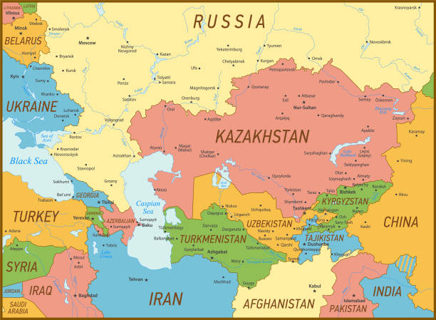
Caucasus and Central Asia Vector Map. Vintage Illustration with Sea, Lakes, Rivers and Geographical Borders Map was found: http://legacy.lib.utexas.edu/maps/commonwealth/caucasus_cntrl_asia_pol_2003.jpg Created in Adobe Illustrator with splines 15-07-2020
Foto de Mapa vectorial del Cáucaso y Asia Central. Ilustración Vintage con Mar, Lagos, Ríos y Fronteras Geográficas
Imagen Disponible en Alta Resolución, Descarga inmediata
small: 692 x 508 Pixels, medium: 1198 x 879 Pixels, large: 2900 x 2129 Pixels,
Premium Imágenes de / iStock